
MicroStation
Model, document, and visualize infrastructure projects of any type, scale, and complexity, with a comprehensive set of design and documentation capabilities to reliably deliver even the most demanding projects.
Software for Infrastructure Professionals
Design, build, and operate more productively, collaborate more globally, and deliver infrastructure assets that perform more sustainably with discipline specific applications and services that enhance collaboration and information mobility across your project team. Each product focuses on specific capabilities required for engineers, architects, contractors, inspectors, governments, institutions, utilities, owner-operators, and a broad spectrum of infrastructure roles.

STAAD.Pro stands for Structural Analysis and Design Program, and it is the software most used for civil construction engineering design. STAAD.Pro works in 3D and helps you improve structure, section, and dimensions, designing anything from a simple beam to a skyscraper. It is used to analyse beams, structures, and trusses. We are one of the prime STAAD.Pro solution providers in Bahrain.
STAAD.Pro is very easy to implement and, more importantly, its requirements are flexible enough to complete a design compared with other applications. The capabilities we focus on across Bahrain include model generation, model verification, static analysis, dynamic and seismic analysis, and secondary analysis.
Licensing, deployment, training, and local support for every title below.
Model, document, and visualize infrastructure projects of any type, scale, and complexity, with a comprehensive set of design and documentation capabilities to reliably deliver even the most demanding projects.
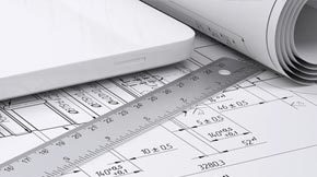
Document infrastructure projects of all types with speed and precision with the flexibility and power required for even the most demanding projects.
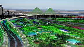
Ensure your project has accurate real-world representation using proven imaging and point-cloud technology to enhance your infrastructure workflow.

Analyze and design any structure, simple or complex, and share the synchronized model with confidence for multidiscipline team collaboration.
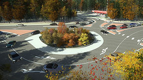
Integrate life-like digital nature into your simulated infrastructure designs, and create high-impact visuals for stakeholders.

Accelerate piping design and ensure compliance against international standards.
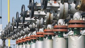
Quickly create intelligent 3D plant designs and models with an integrated, AutoCAD-based application for designing piping, equipment, and raceways.
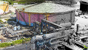
Quickly create detailed 3D models using simple photographs and/or point clouds for use in engineering or GIS workflows.

Mapping software for editing, analysis, and management of 2D/3D geospatial information, including map finishing and advanced parcel management.
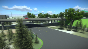
Create conceptual road and bridge designs to evaluate more options during the planning and pre-bid stage of your project. Design more efficiently, identify high-risk items, and minimize costs.

Lead your firm into the era of digital project delivery, with a connected environment for managing, sharing, and reviewing engineering information.
Tell us what you need and our team will come back to you with pricing.